Dillon today Dillon today
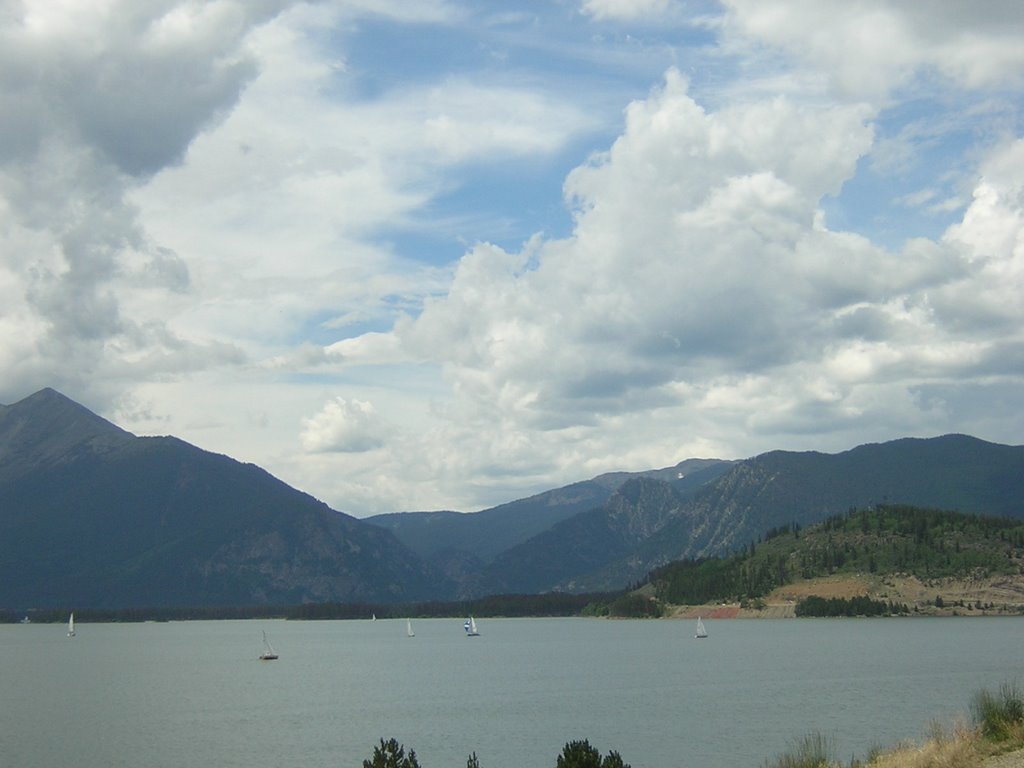
Dillon Colorado today. View is mostly from the bike path right below where I live, above the marina. Photos start to the south, then rotate clockwise with the direction of each indicated by (S).
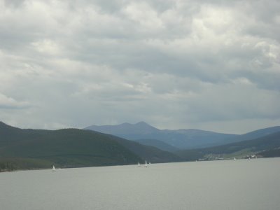
(S) Quandry peak (>14k feet) behind Breckenridge.
(SW) End of Ten Mile Range above Breckenridge - ski area is on Peaks 7-10 and is visible in middle of picture.

(WSW) Ten Mile range extending from Frisco south to Breckenridge.
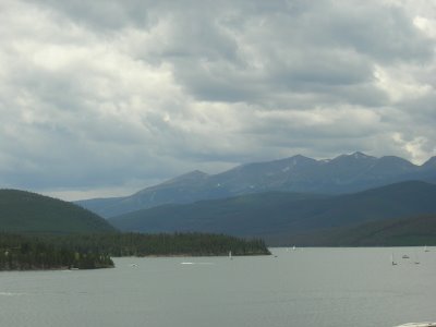
(W) Ten mile canyon running from Frisco up to Copper Mountain, and then to Vail Pass.

(NW) Buffalo Mountain above Silverthorne.
(NNW) Eagles Nest Wildnerness Area down Blue River beyond Silverthorne.
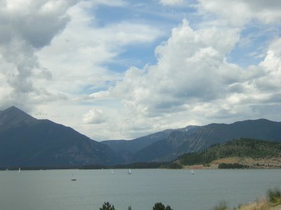
(NE) Tenderfoot mountain.
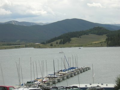
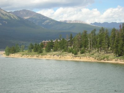
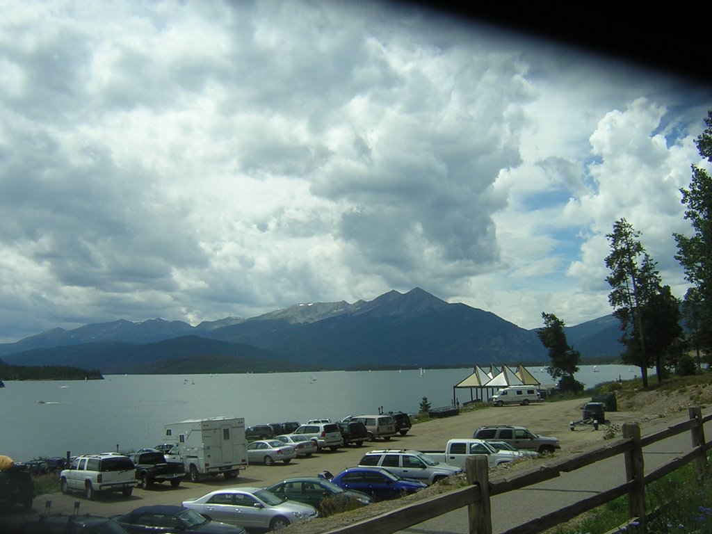
(E) Marina in foreground, and top of Keystone Ski Area in background.
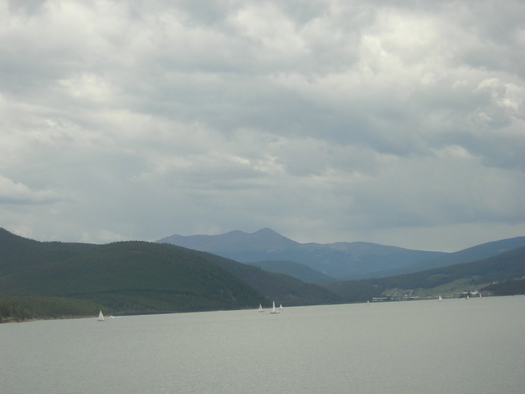
(S) Quandry peak (>14k feet) behind Breckenridge.

(SW) End of Ten Mile Range above Breckenridge - ski area is on Peaks 7-10 and is visible in middle of picture.
(WSW) Ten Mile range extending from Frisco south to Breckenridge.
(W) Ten mile canyon running from Frisco up to Copper Mountain, and then to Vail Pass.
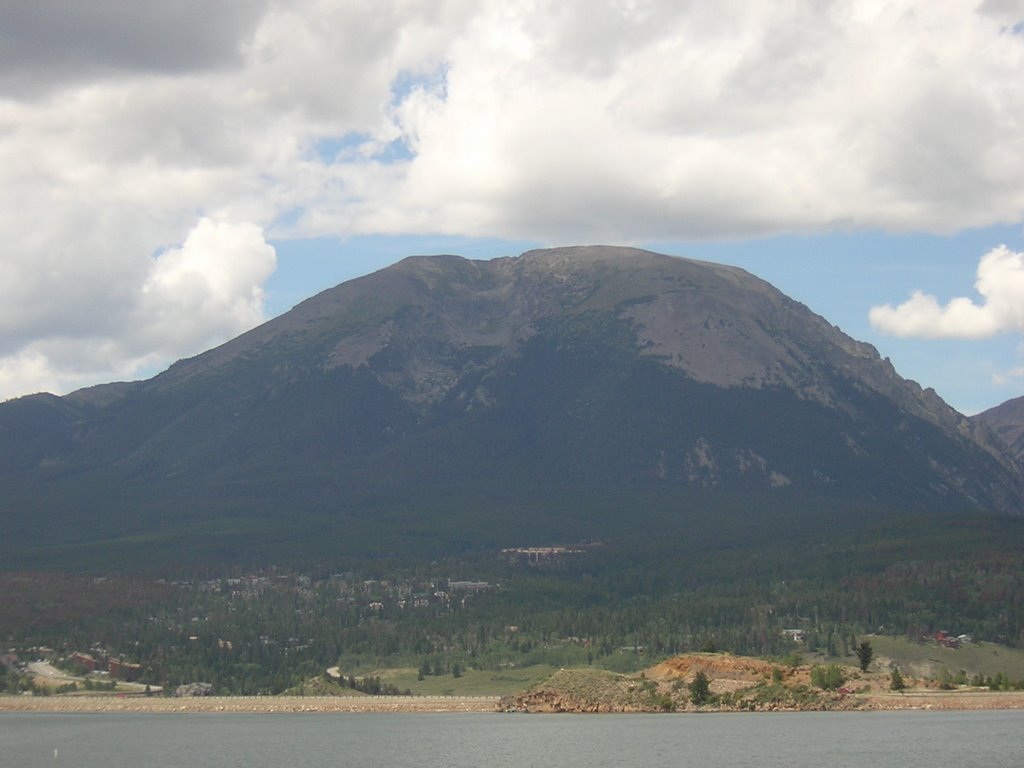
(NW) Buffalo Mountain above Silverthorne.

(NNW) Eagles Nest Wildnerness Area down Blue River beyond Silverthorne.

(NE) Tenderfoot mountain.

(E) Marina in foreground, and top of Keystone Ski Area in background.
Labels: Skiing
12:34 AM Display: Full / Chopped / Footer
Display:
Full /
Chopped /
None
Display:
Chopped /
Footer /
None
Posted by
Bruce Hayden at 12:34 AM
![]()
![]()


0 Comments:
Post a Comment
<< Home >>